
Every celebration includes every space.
Ask most estates which space you are getting and they will tell you. Here it is the wrong question. The places on this estate are not alternatives to choose between and they are not separate businesses sharing a drive. They are parts of one property, and every one of them is yours for the celebration.
Where you marry, where you dine and how the day unfolds is up to the two of you. Nobody else is on the property while you decide.
Every space on the estate.
Each one is on the map above. Choose a place to see it.
-
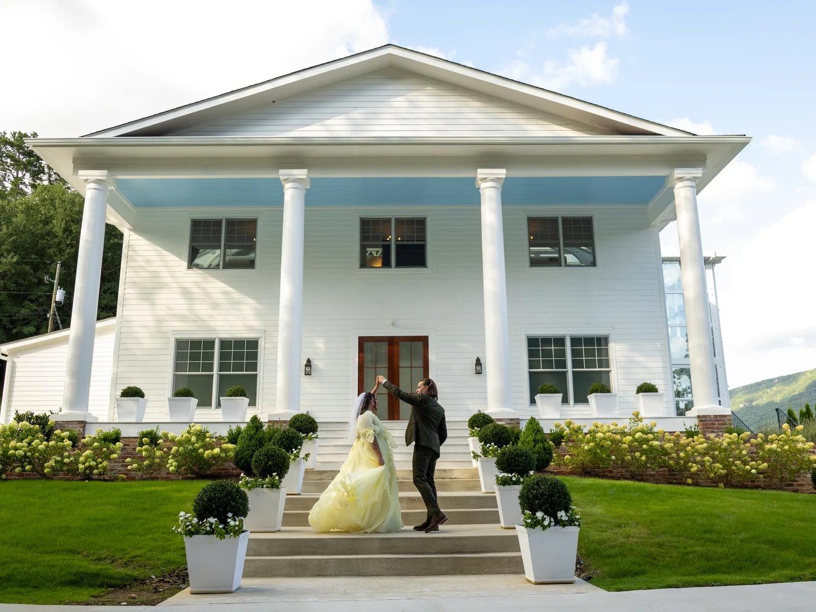 The historic house
Magnolia House
White columns against the ridge, and a glass conservatory behind.
The historic house
Magnolia House
White columns against the ridge, and a glass conservatory behind.
-
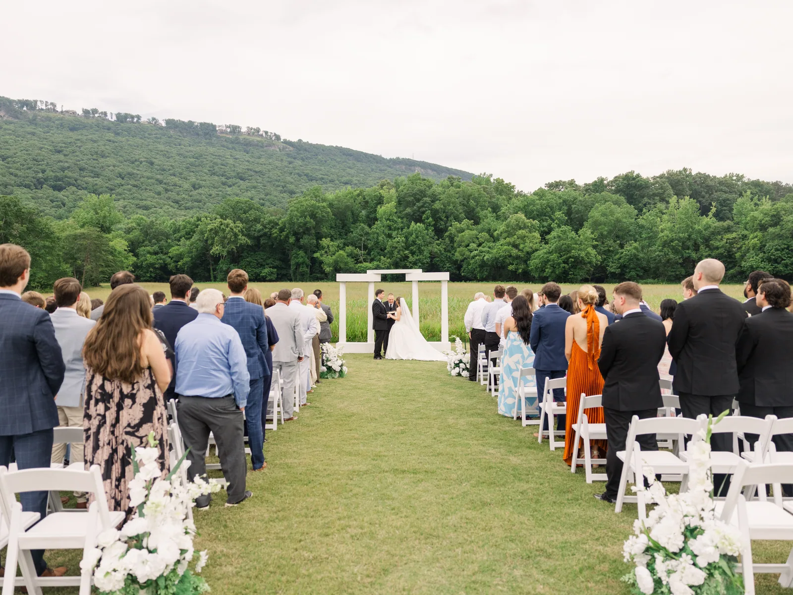 The open meadow
The Valley
Held on three sides by ridgeline, with Lookout Mountain beyond.
The open meadow
The Valley
Held on three sides by ridgeline, with Lookout Mountain beyond.
-
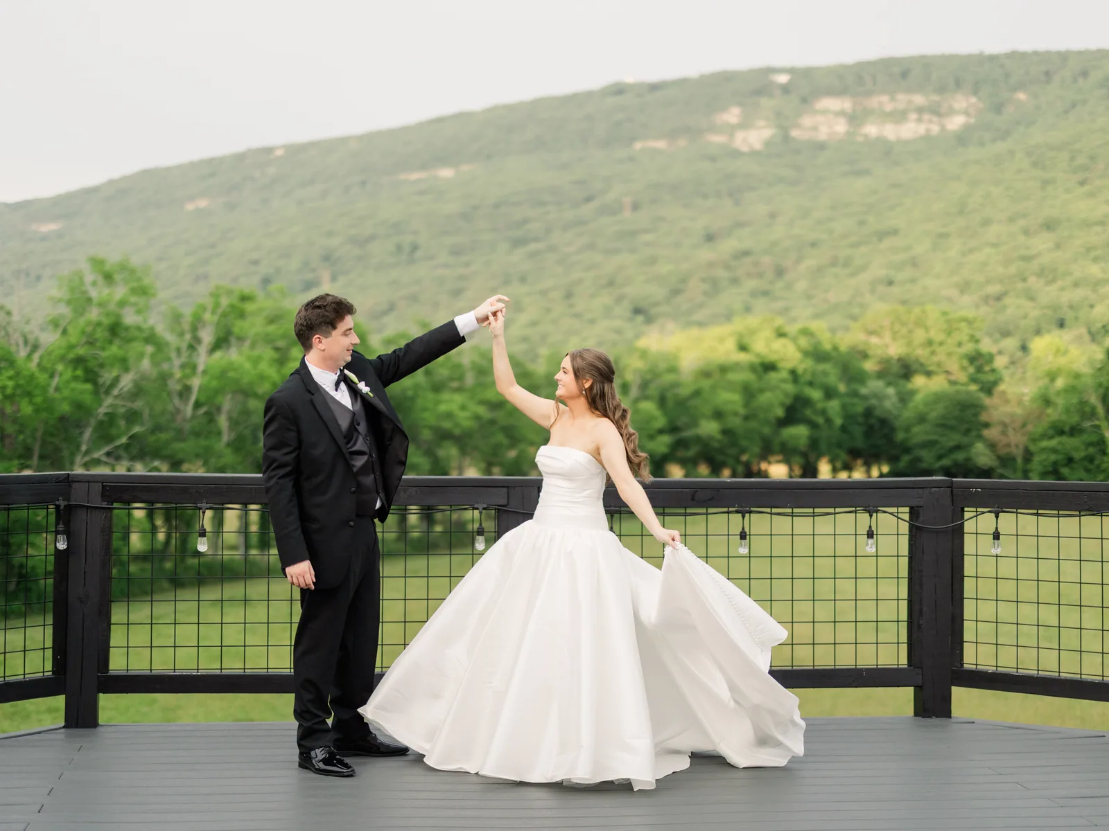 Davis Hall's wrap-around deck
The Lookout Deck
Out over the valley, facing the mountain, gold in the evening.
Davis Hall's wrap-around deck
The Lookout Deck
Out over the valley, facing the mountain, gold in the evening.
-
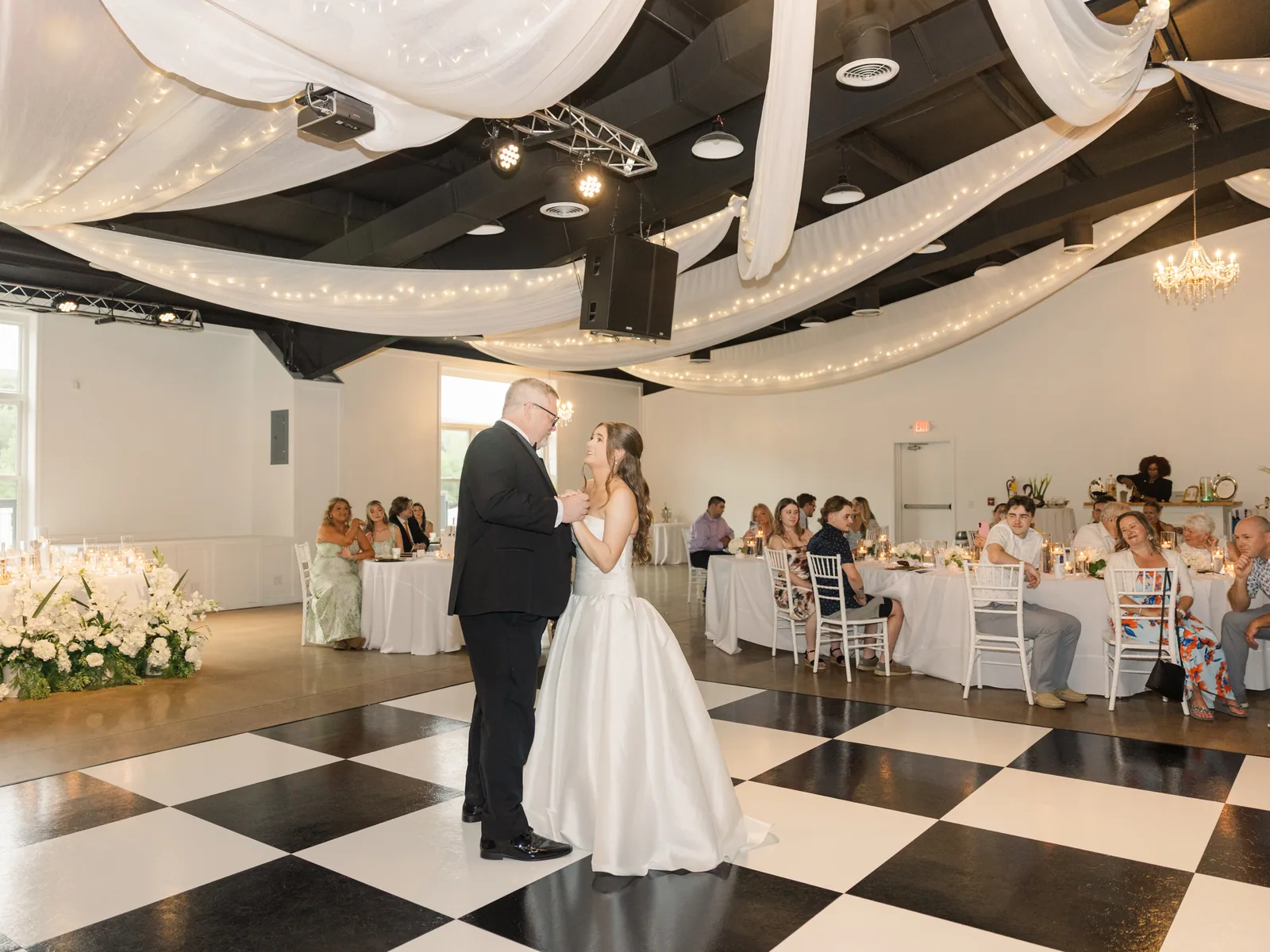 The reception hall
Davis Hall
Drapery, chandeliers, and the largest floor on the property.
The reception hall
Davis Hall
Drapery, chandeliers, and the largest floor on the property.
-
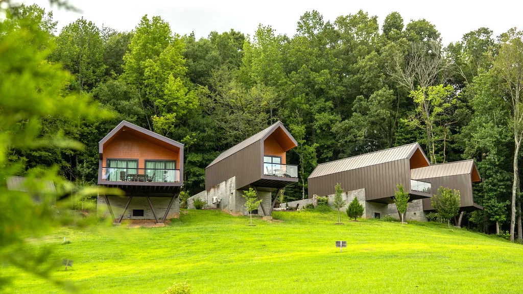 The cottages on the hill
Overlook Village
Cottages along the hillside, and thirty-four beds on the estate.
The cottages on the hill
Overlook Village
Cottages along the hillside, and thirty-four beds on the estate.
-
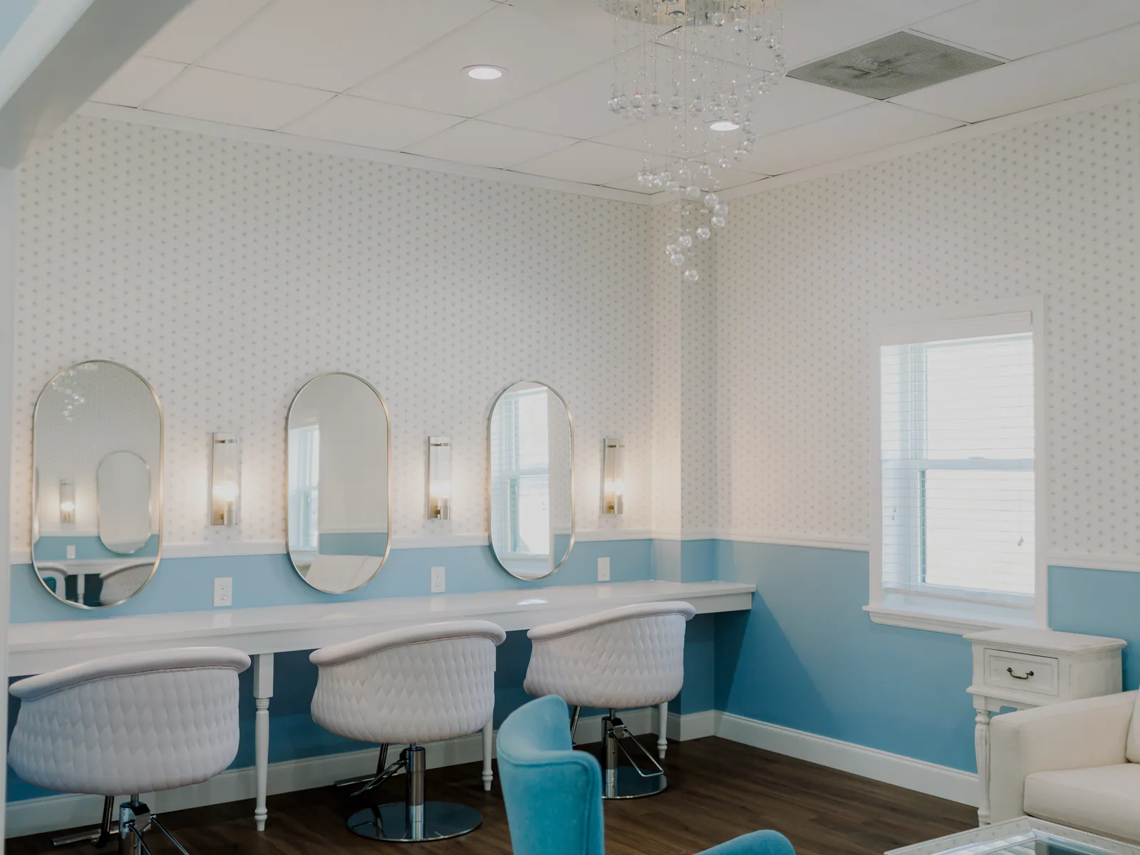 For the largest party
The Lodge
Two getting-ready suites, a kitchen for a crowd, and fourteen beds.
For the largest party
The Lodge
Two getting-ready suites, a kitchen for a crowd, and fourteen beds.
-
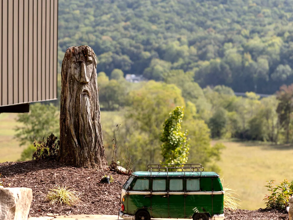 At the far edge
Lost in the Woods
A cabin, a fire pit and a terrace: small enough for two, and a place to gather.
At the far edge
Lost in the Woods
A cabin, a fire pit and a terrace: small enough for two, and a place to gather.
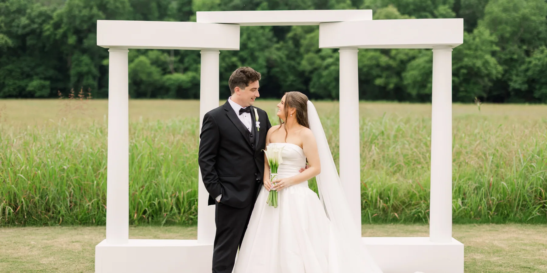
Every space on one map, and you never leave the property to reach any of them.
And the same ground, from the side.
The plan above flattens a property that is anything but flat: from the low ground to the high ridge inside that frame is a 240-foot climb. This is the same survey built as a model and turned, so the valley can be looked at from any angle.
Open the terrain modelStill in prototype. Elevation is USGS 3DEP one-metre LiDAR through The National Map; the imagery over it is USGS NAIP, October 2023, at 0.57 m per pixel. Both are public domain federal survey data. The terrain model still lives at its old address and is not styled to match this site.
Seventy-four acres does not photograph.
You can see every space on this page. What a screen cannot show you is how far apart they are, how quiet the meadow is, or how the deck turns at six.
Download the Wedding Pamphlet