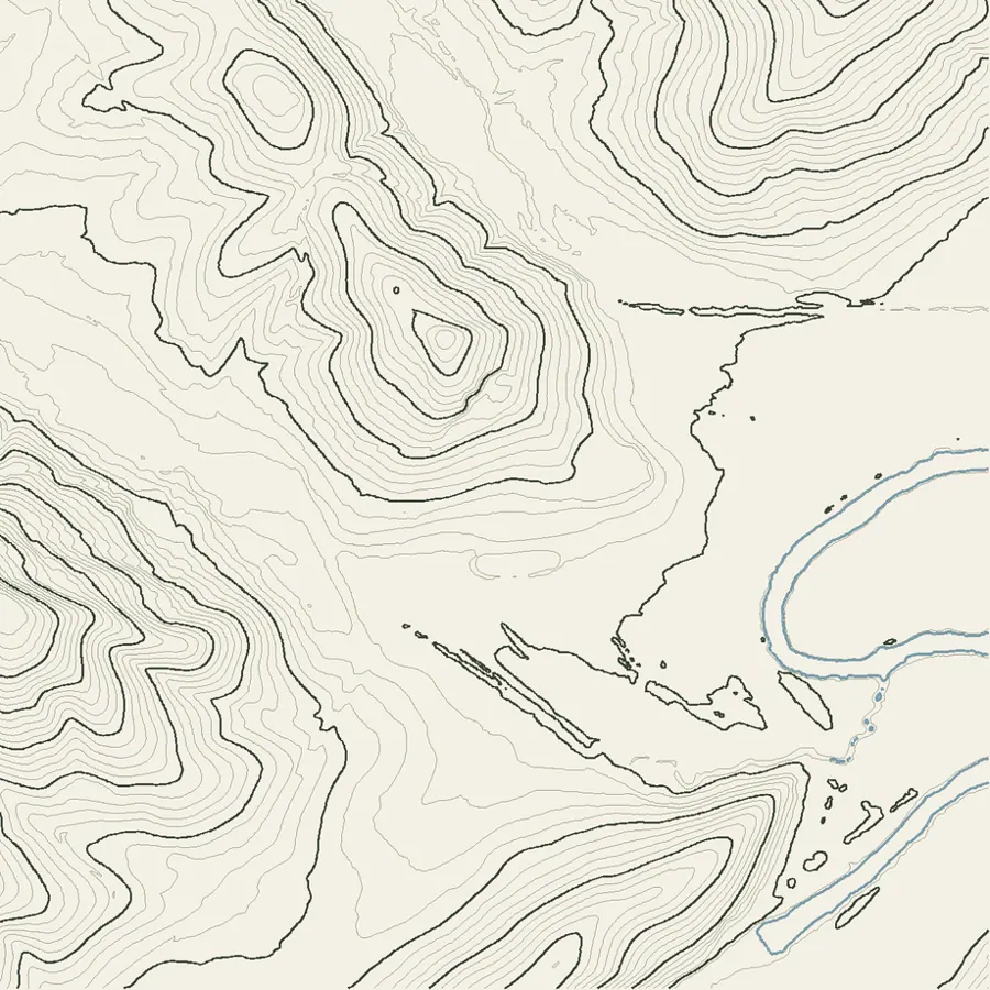
Seventy-four acres of Lookout Valley, modelled from survey elevation data. The ground you see is the real ground — every ridge and hollow measured, then skinned three ways. Drag to turn the land, and hover a place to see it.
Elevation: USGS 3DEP one-meter LiDAR. Imagery: USGS NAIP, October 2023, about two feet per pixel, same footprint. The illustrated skin is that photograph reclassified into the estate palette — woodland, mown grass, track, water — so it is drawn from the land rather than merely of it. Vertical scale exaggerated 2.2×.
The flat, open ground through the middle is where the ceremonies happen. Everything around it climbs. That is why sound stays in it, why the wind drops, and why the hills hold the last half-hour of light after it has left the grass.
From the low ground to the high ridge inside this frame is a 240-foot climb. A flat plan cannot show that, which is the entire reason this exists.